workflow_small.png


Drone 3D mapping and modeling, documentation and measurement. Delivered.

1 (800) 484-0485


Custom Mapping

Get a bird's eye view of your site and reduce ambiguity throughout large projects. Track project progress over time with sequential site maps and improve communication across teams. Although not a replacement for engineering grade surveys SkyDeploy …

Drone-based mapping is being adopted in many industries because of the speed in which accurate results can be achieved. 

PRECISE SURVEYING

SkyDeploy offers centimetre accuracy using industry standard RTK geo-positioning technology to make drone generated maps extremely accurate. Get survey grade accuracy in linear measurements including area and distance. We are able to provide mapping…

Results in hours, not weeks. Site documentation in a fraction of the time from an aerial perspective. Centimeter level accuracy is delivered in a fraction of the time.

fast volumetrics

Easily figure out the difference between current overall site grade and the proposed finish grade in a time sensitive manner using SkyDeploy mapping services. Large sites can be scanned and processed in 1-3 hours and the results are instantly viewab…

Volume measurements have never been so simple. Instantly determine volumes, areas and fill quantities on your earth moving operations.


Terrain MODELLING

This set of data is what allows you to easy calculate volume and the land area from any device simply by drawing a perimeter around an area of interest. With a minimal investment of time and money, you can complete analysis that would otherwise take…

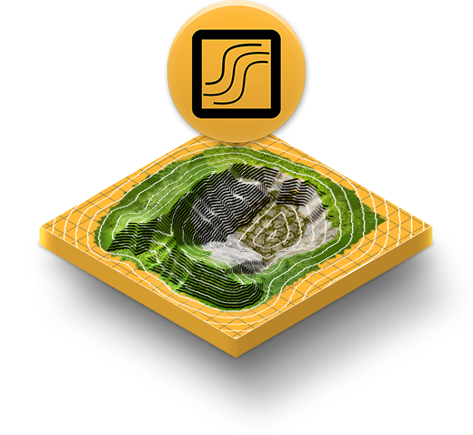
Digital terrain modelling has never been faster or easier. Better data collection compared to traditional methods leads to a better understanding of what you're working with.

PRO DATA

After flying a mission the data is uploaded and processed into convenient imagery that's delivered through an orthmosaic map which includes elevation mapping and 3D models of the site.

Easily export any of our drone acquired data to your industry standard file format. Contact us to find out more about the deliverables we can support.

SITE PROGRESSION

After flying a mission the data is uploaded and processed into convenient imagery that's delivered through an orthmosaic map which includes elevation mapping and 3D models of the site.

Keep your team on track with the information that matters. Share and annotate models of the site and compare with your to-be-built plans.

 
Volume Trio Trimmed.png
 

aerial data delivered

Seeing is believing. Request a demo for your team today!